By Sault Tourism
How to Experience one of Ontario's best lookout hikes
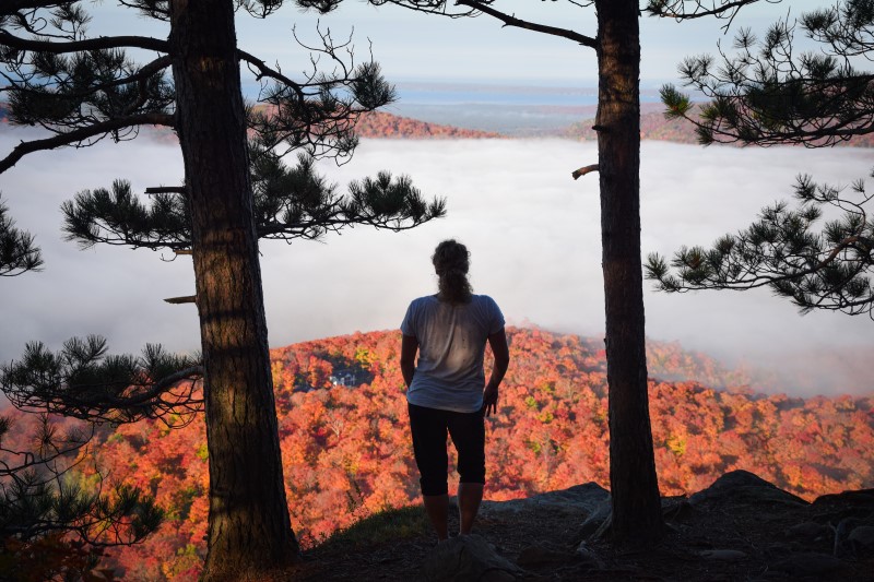
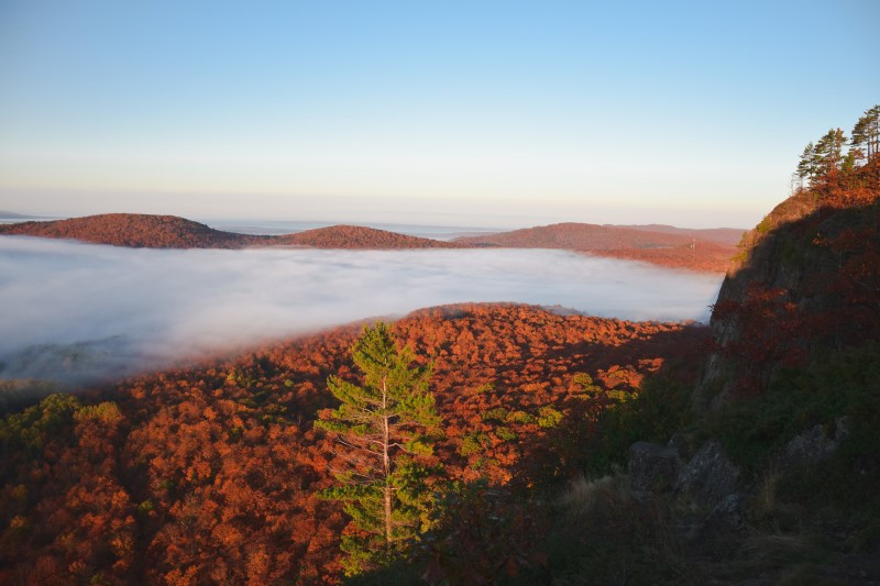
Robertson Cliffs, just 30 minutes north of Sault Ste. Marie, is one of best lookout hikes in Ontario. These cliffs offer views from several incredible lookouts that stretch for miles across Bellevue Valley towards the Goulais River and as far as Lake Superior.
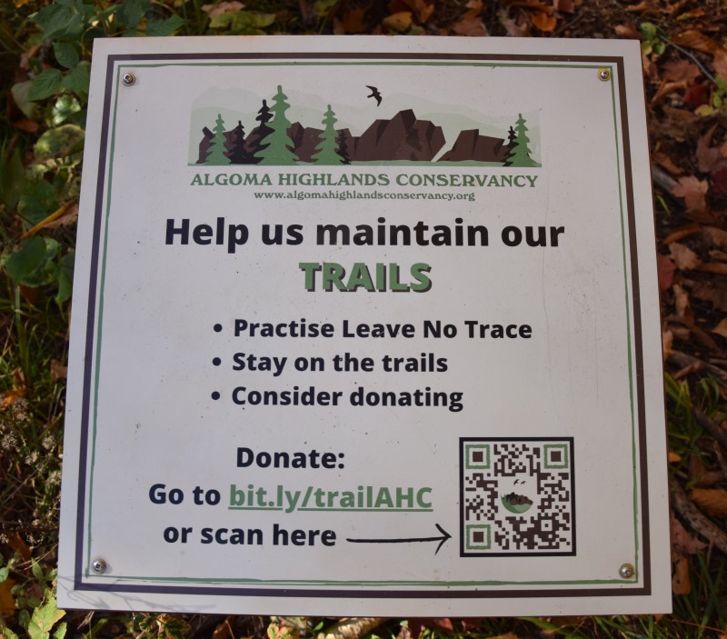
The cliffs are owned and cared for by Algoma Highlands Conservancy, a not for profit organization that is run by local volunteers. Clearly marked trails are maintained through donations and memberships. To support this organization click here.
Where Are Robertson Cliffs?
AHC’s Robertson Cliffs are located about 30 minutes north of Sault Ste. Marie, just east of the trans-Canada highway, highway 17. Click here for a Google Maps link to directions to one of the car park areas.
Where Can I park?
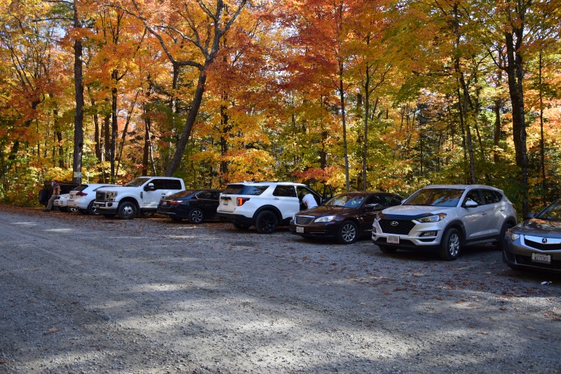
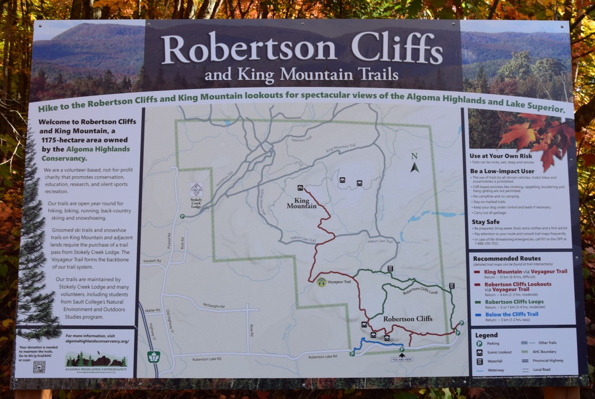
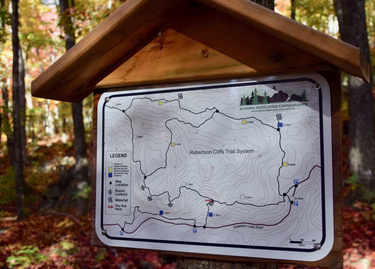
There are three parking areas at the trail heads, these are shown in the below maps.
How Long Does the Hike Take and How Difficult Is It?
The route to the top can take between 45 minutes and 2 hours depending on which trail you take, and then the same on the way back. So allow yourself at least 2 hours as a minimum.
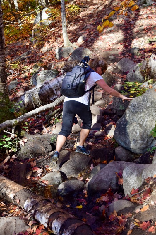
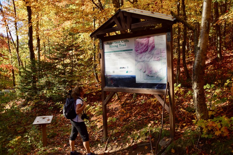
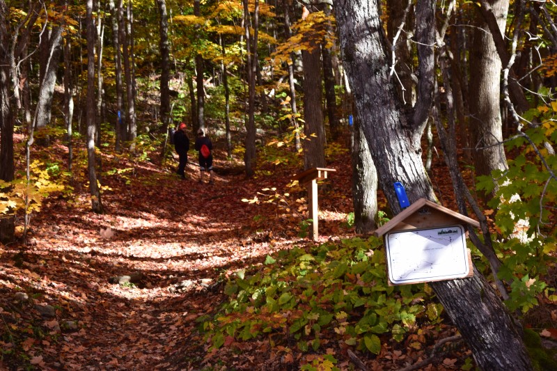
It’s described a ‘moderate’ difficulty because there is some scrambling over rocks, small streams and occasion trees. Click on the below images to see some maps of the area.
What Routes are there and Are the trails well marked?
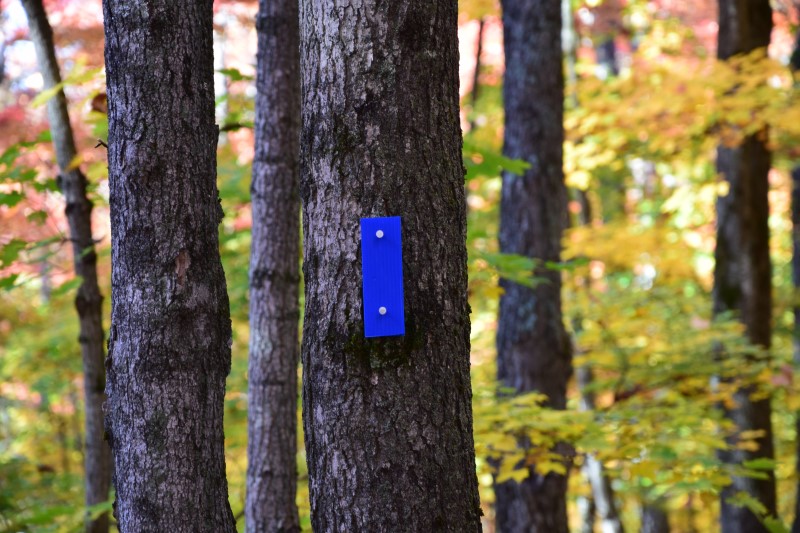
There are 3 routes that will get you to the top. The Blue route is a 300 metre route that links up with the white route. It begins at the western parking lot.
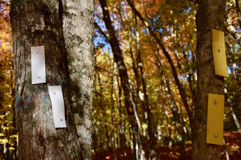
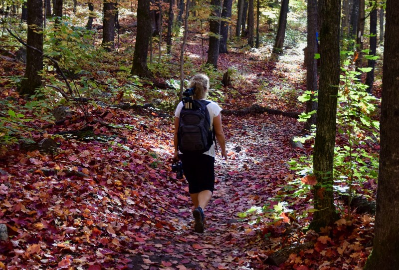
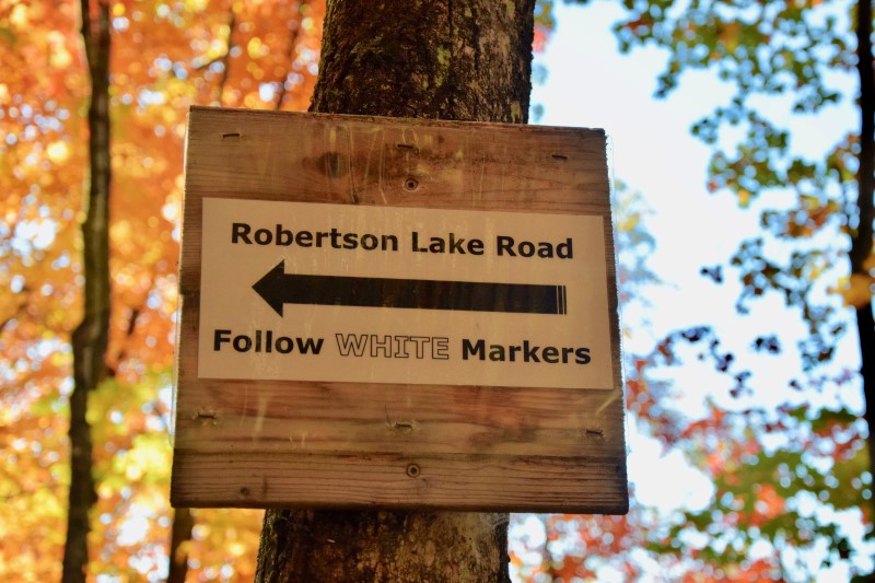
The White route is a 2km, 45 minute route which begins at one of the two eastern parking lots. Well marked trails lead through the Great Lakes St. Lawrence forest before meeting up with the blue trail. Once the blue and white trail meet the trail does get a little steeper as it ascends to the lookout points.
The yellow trail is a longer 2.5km trek that takes you along beautiful waterfalls. Allow 2 hours for this hike to the cliffs.
What about the lookouts and what is view like?
There are 3 main lookouts with several others you can find along the way too. The views… judge for yourself.
Are there any Tour guides?
Three awesome local tour guides can show you the way and also give you some stellar insight into the area. Thrive Tours, Forest The Canoe and Blaq Bear Adventures.
How Can I Help Maintain this area?
A huge thanks to the Algoma Highlands Conservancy and its volunteers for maintaining these beautiful trails. You can donate or volunteer to the Conservancy here!
