Ojibway Park Nature Trail

Written By: Sault Ste Marie Tourism

Explore The Natural Beauty Of Ojibway Park Nature Trail

Just east of Sault Ste. Marie in Garden River, the Ojibway Park Nature Trail offers an accessible hiking experience through lush forests and wetlands. A mix of gravel footpaths and boardwalks leads to a scenic lookout, with interpretive signs sharing the region’s rich history and ecology.


Ojibway Park Hiking Trail

Where Is the Nature Trail Located?

Ojibway Park Nature Trail is located 20km east of Sault Ste. Marie, in Garden River, on highway 17b. 

Where Can I park?

The parking lot is located just south of highway 17b, on the right as you approach from Sault Ste. Marie and Garden River. 

Ojibway Park Hiking Trail

How Long Does the Hike Take and How Difficult Is It?

The hike is 2.5km if you do the full loop, so leave around 1 hour for it from start to finish. You will be on flat paths and boardwalks the whole way, so it is suitable for hikers of all fitness levels!

Ojibway Park Hiking Trail

Are the trails Signposted?

A large map of the trail system is located at the trailhead, near the parking lot. Shortly after the sign you’ll see a fork in the path to give you the choice of which direction around the loop you want to take. To get to the scenic lookout gazebo, you’ll need to be aware of second T-junction in the trail.

Ojibway Park Hiking Trail

What other information is displayed along the trail?

Along the trail you will come across a number of information signs that speak of the history and cultural significance of the area as well as what wildlife you may see along the way. 

Ojibway Park Hiking Trail

Scenic Lookout Gazebo

The trail ultimately leads to a scenic lookout gazebo, with views over the grassland, beach, the most northerly part of Lake Huron, and with views all the way to Sugar Island in the US. 

Ojibway Park Hiking Trail

Part of the Trans Canada Trail

The trail, built in 2016, is part of the Trans Canada Trail. Get more information, including a link to the map here

Ojibway Park Hiking Trail

Are there any Tour guides?

Two local tour guides can help enhance your experience by giving you cultural teachings, indigenous storytelling, culinary delights and information during the hike. 

Check out Thrive Tours, and Walk Among The Trees‘ websites. 

Frequently Asked Questions

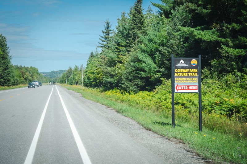
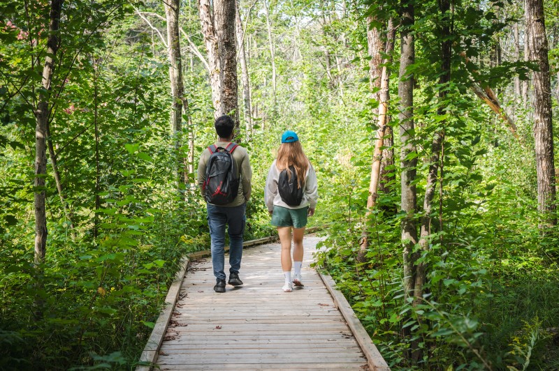
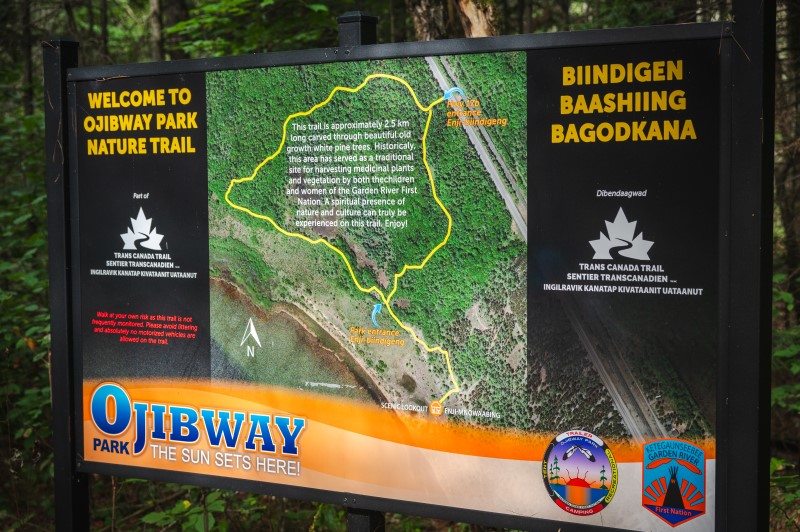
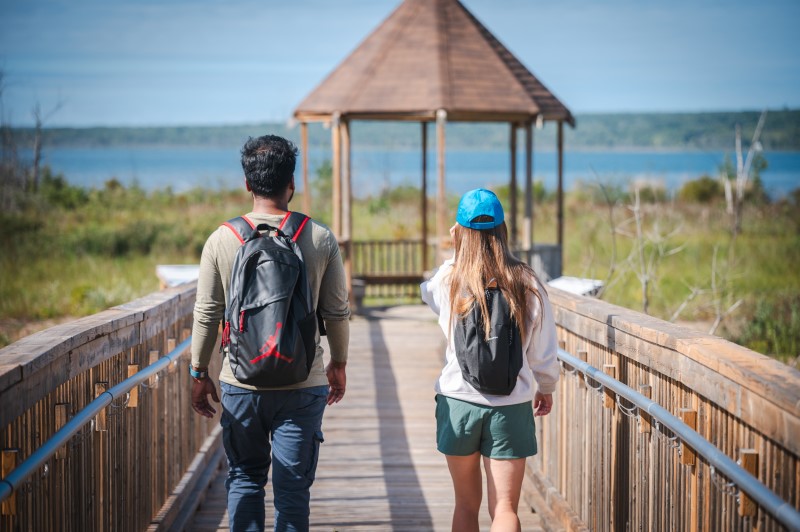
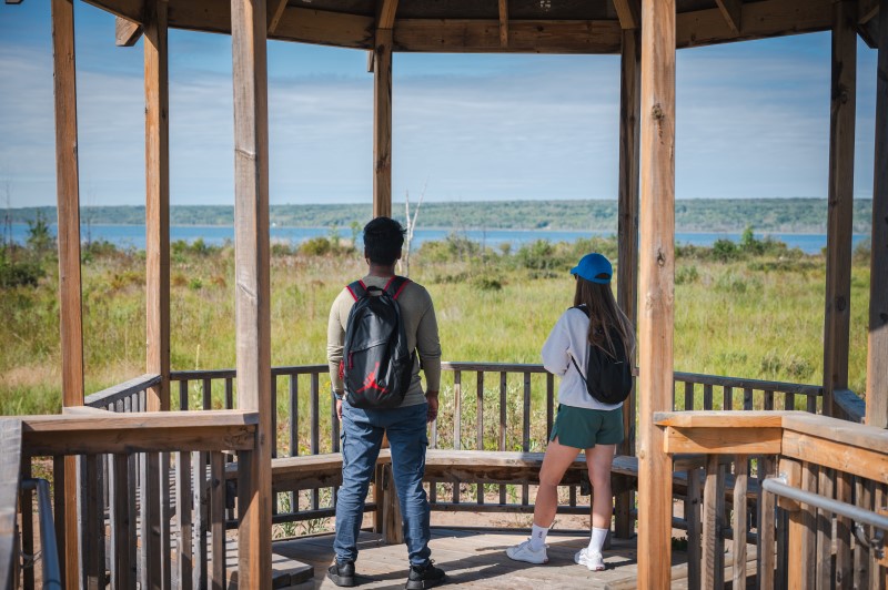
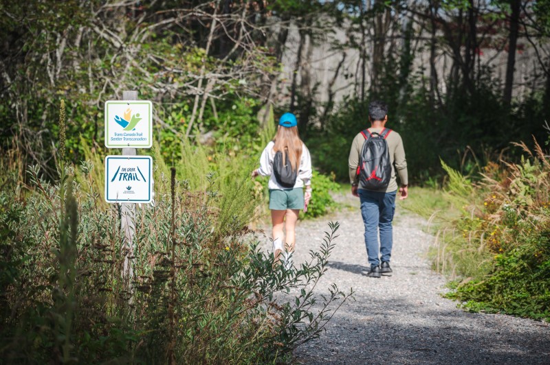
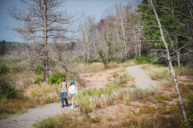
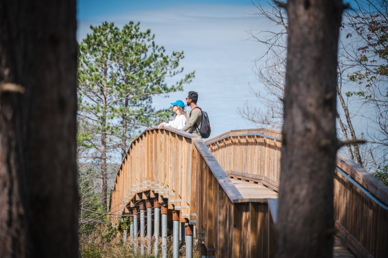
The Ojibway Park Nature Trail is located 20 km east of Sault Ste. Marie, Ontario. If you’re traveling from outside Northern Ontario, you can reach the trail by flying into Sault Ste. Marie Airport and then driving to the trailhead via Highway 17B. Alternatively, you can drive directly to the trail if you’re coming from nearby cities.

Yes, local guides from Thrive Tours and Walk Among The Trees can provide cultural teachings, indigenous storytelling, and a deeper understanding of the trail’s significance. Learn More about Thrive Tours and about Walk Among The Trees

Yes, the Ojibway Park Nature Trail is part of the Trans Canada Trail, which provides a scenic and educational hiking route for outdoor enthusiasts.

Absolutely! The Ojibway Park Nature Trail is a great stop if you’re exploring Northern Ontario. It’s located just a short drive from Sault Ste. Marie and can be incorporated into a scenic road trip through the Canadian Shield, with plenty of other outdoor activities along the way.